Remote sensing from orbit has revolutionized how we monitor and manage agricultural landscapes. This article explores the role of space-based sensors in tracking crop health, optimizing resource use, and driving innovation in sustainable farming practices. By examining recent technological breakthroughs, practical applications, and future opportunities, we aim to highlight the transformative impact of orbital observation on global food systems.
Advances in Space-based Sensor Technology
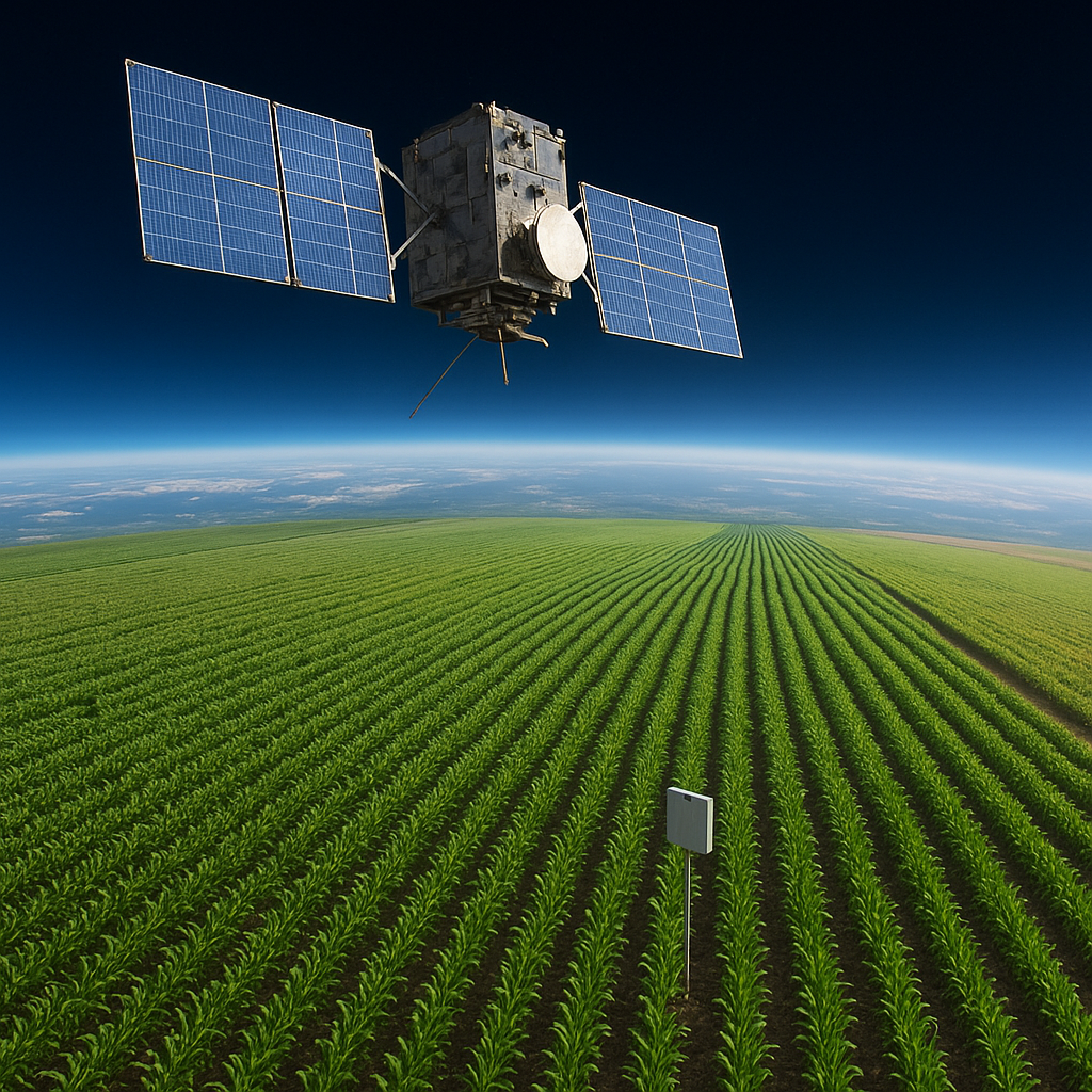
The advent of compact, high-performance satellites has ushered in a new era of agricultural monitoring. Traditional ground-based surveys are increasingly complemented by fleets of microsatellites capable of capturing data across multiple spectral bands. These platforms leverage multispectral and hyperspectral sensors to gather detailed information on plant vigor, moisture levels, and nutrient deficiencies. The following innovations stand out:
- High-resolution imaging: Cubesats now offer sub-meter spatial resolution, enabling farmers to identify stress patterns within individual fields.
- Swarm deployments: Coordinated constellations reduce revisit times to under 24 hours, ensuring near real-time monitoring of dynamic crop conditions.
- Onboard processing: New satellites incorporate AI-driven algorithms that preprocess imagery in orbit, filtering out cloud cover and generating actionable data products before transmission.
- Open data platforms: Initiatives from public-private partnerships foster global data sharing, encouraging the development of customized analytical tools by researchers and agribusinesses.
These developments not only enhance the granularity of observations but also lower the barrier to entry for smallholder farmers. By democratizing access to advanced space technology, remote sensing providers are promoting more equitable agricultural innovation worldwide.
Applications in Precision Agriculture
Integrating satellite-derived metrics with on-farm practices has given rise to truly precision agriculture. Decision-makers can now tailor irrigation, fertilization, and pest control with unprecedented accuracy. Key applications include:
- Vegetation indices: Measures such as NDVI and EVI quantify canopy density and photosynthetic activity, enabling early detection of water stress or disease.
- Biomass estimation: By analyzing reflectance in the red and near-infrared bands, farmers can estimate biomass accumulation and predict harvest readiness.
- Yield prediction: Historical satellite archives, combined with current season data, feed machine learning models that forecast final yield at the field scale.
- Drought and flood monitoring: Thermal infrared sensors detect surface temperature anomalies, providing alerts for impending drought risk or waterlogging events.
- Variable rate application: Geospatial prescriptions guide farm machinery to apply inputs precisely where needed, reducing waste and environmental impact.
One notable case study involved a large-scale grain producer who integrated satellite imagery with soil moisture sensors and weather forecasts. This multi-layered approach improved nitrogen use efficiency by 15%, cut irrigation costs by 20%, and boosted overall output by 7% compared to conventional practices.
IoT and Edge Computing Integration
While satellites capture broad-area insights, ground-based Internet of Things (IoT) devices deliver hyperlocal data on soil conditions and microclimates. Edge computing nodes aggregate sensor streams and fuse them with satellite products to drive automated irrigation systems. This convergence of space-based and terrestrial networks exemplifies the power of data analytics in modern agriculture.
Future Perspectives and Challenges
Despite remarkable progress, the widespread adoption of spaceborne crop monitoring faces several hurdles:
- Data volume: The sheer scale of multispectral and hyperspectral archives demands robust cloud computing infrastructure and efficient compression strategies.
- Operational complexity: Transitioning from research prototypes to reliable commercial services requires seamless integration with farm management systems.
- Regulatory frameworks: Privacy and data ownership laws differ across regions, complicating cross-border data sharing and collaboration.
- Cost barriers: While satellite costs are declining, the initial investment for analytics platforms and user training remains significant for many agricultural stakeholders.
Looking ahead, emerging trends promise to address these challenges and unlock new capabilities:
- Quantum sensors: Next-generation payloads leveraging quantum technology could achieve unparalleled sensitivity to minute biochemical changes in vegetation.
- 5G-enabled downlinks: Ultra-fast communication channels will facilitate real-time streaming of high-resolution imagery to end users.
- Decentralized analytics: Blockchain-based marketplaces may enable farmers to trade sensor data and predictive models securely, fostering community-driven innovation.
- Interdisciplinary synergy: Collaborative platforms uniting agronomists, data scientists, and space engineers will accelerate the translation of remote sensing insights into practical agronomic recommendations.
By overcoming present constraints, the integration of orbital sensing with on-the-ground intelligence will continue transforming agricultural landscapes, enhancing both productivity and sustainability. Space-based monitoring stands poised to become an indispensable tool for feeding a growing global population under climate uncertainty.